Two other spots where you can get a glimpse of the creek is when you pass over the garden state parkway near mile marker 119. Another is when you cross over the matawan embankment while on the NJCL train.
Below is a detailed map of the creek showing where the attacks took place.
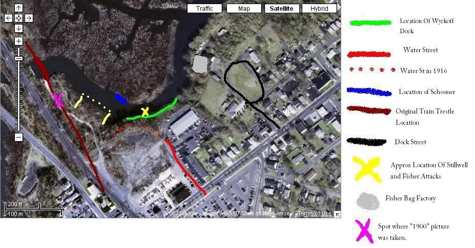
Below is a picture of the spot where the attacks took place in 1916. The men in the boat are attempting to find Lester Stillwell's body while a crowd of matawan resident watch. I attempted to replicate the exact spot of where that picture was taken below. Picture was taken at low tide in the Spring of 2005 and is a view the west side of the creek.

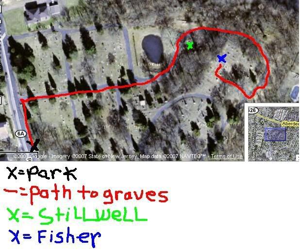
Rose Hill Cemetery
Rose Hill Cememtery where Stillwell and Fisher are buried is technically off limits. There are no trespassing signs at the front and if the cops see you they will tell you to leave, even for research. However, I have been in the cemetery a number of times and never been caught. Below I have provided a map and a picture of the location of Stillwell and Fishers gravesites if you choose to find them. Stillwell's grave can be found by following the main path till there in a bend. It's just opposite the pond. Fisher's grave on on top of the hill directly over Lester's. Many people say that it' ironic that it is as if Fisher is watching over Lester in death, just as he did in life.

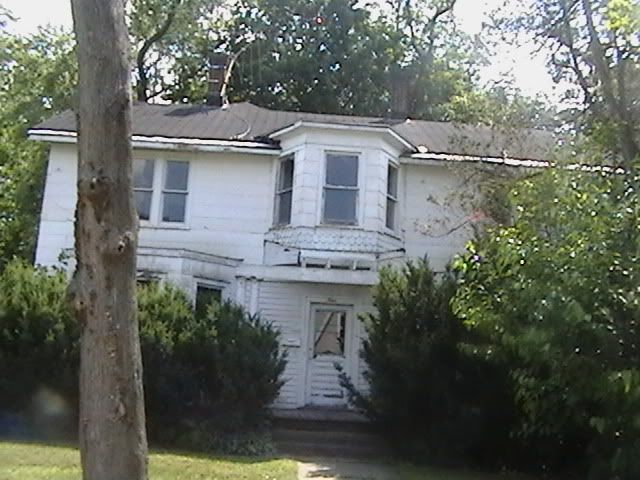
Home addresses are where chracters lived at the time of the attack in 1916. These are places you can stop at if you happen to be in Matawan, however I would venture to say very few of the original structures still exist.
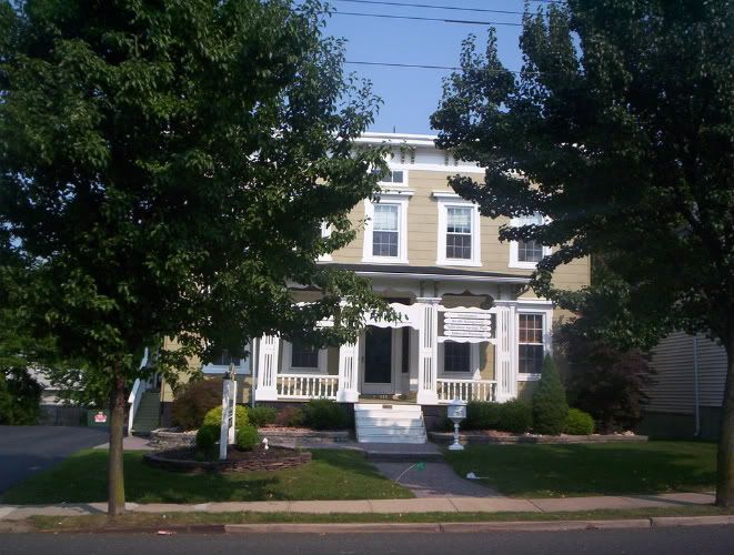
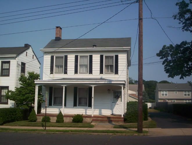
Stanley Fisher's House: 4 Fountain Drive (original house still standing)
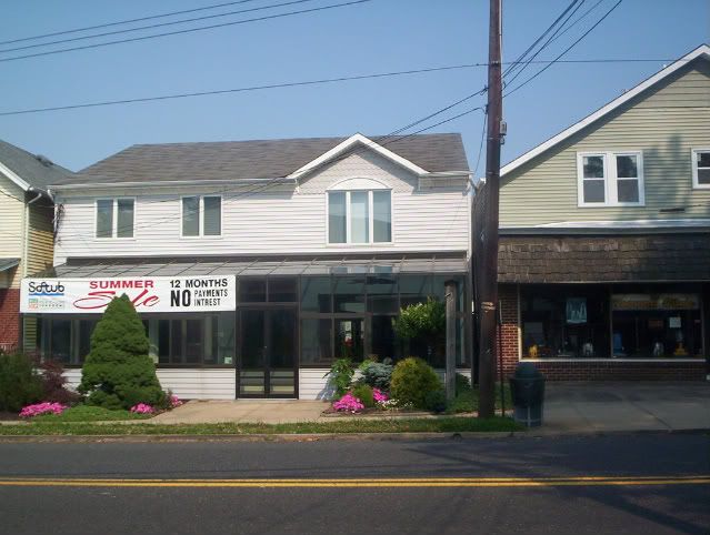
Stanley Fisher's Taylor Shop: Opposite 147 Broad Street (according to Leroy Smith).
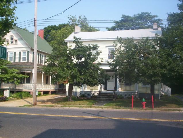
Lester Stilwell's House: Church Street/Orchard Street/Lower Broad Street (In dispute)
Anderson Bag Factory: ? Atlantic Ave
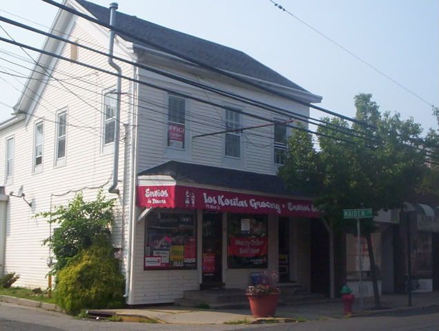
Albert O'Hara's House: 75 Main Street
Johnson Cartan's House: 99 Main Street
Anthony Bublin's House: ? Little Street
Charles Van Brunt's House: ? Main Street
Chief Mulsoff's Barbershop: 118 Main Street
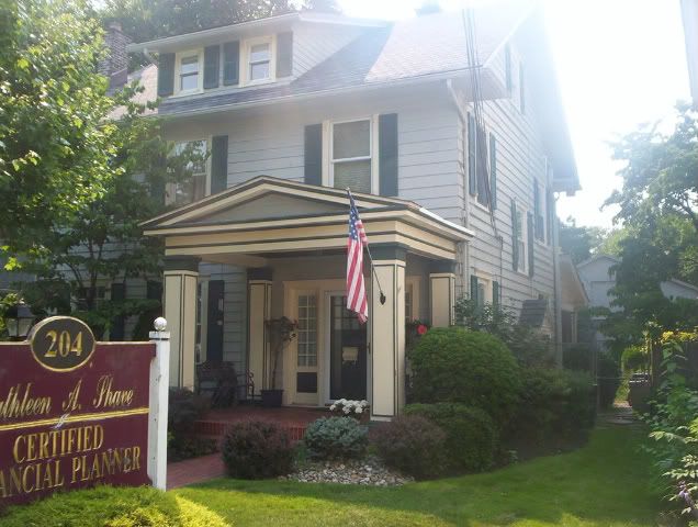
Arrowsmith Undertakers: 206 Main Street (now 204)
United Methodist Church: Intersection Of Ravine and Main Street (Near Post Office Parking Lot)
Frank Clowes's house(in creek with Lester?): 117 Main Street
Renny Cartan's house: 93 Main Street (original house)
Captain Cottrell's House: 50 Washington Street, Keyport NJ
Joseph Dunn's Aunt's house: ? Cliffwood Avenue.
Jerry Hourihan's House: ? Mash Street, Keyport NJ.
Cliffwood Locations
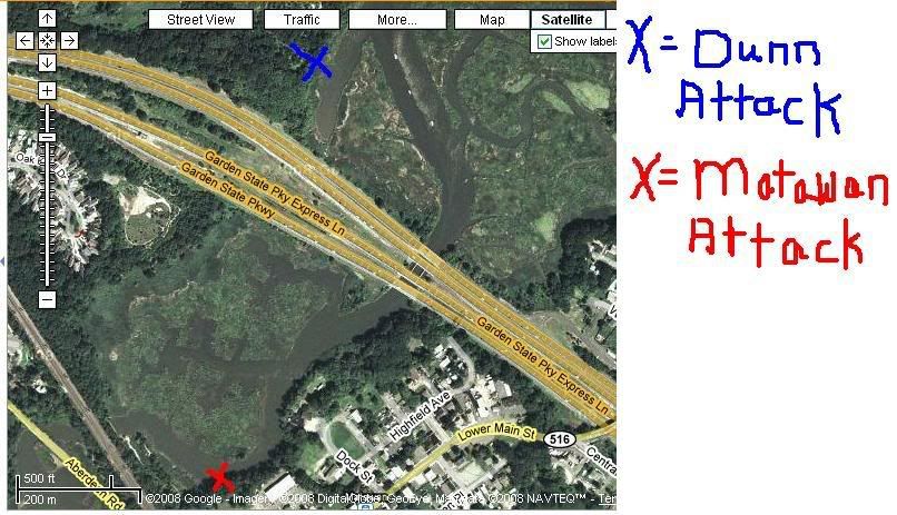
Here is a map that shows the location of the attack on Joseph Dunn in relation to the attacks on Stillwell and Fisher. Using the 1936 map as a guide, it appears the attack took place just East of where the Parkway crosses the creek. When the Garden State Parkway was built in the 1950s it appears as though the creek was rerouted.
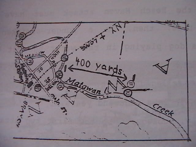
1936 Commerative map that appeared in the Matawan Journal showing the locations of the attacks. Courtesy Of "In Search of the Jersey Maneater"
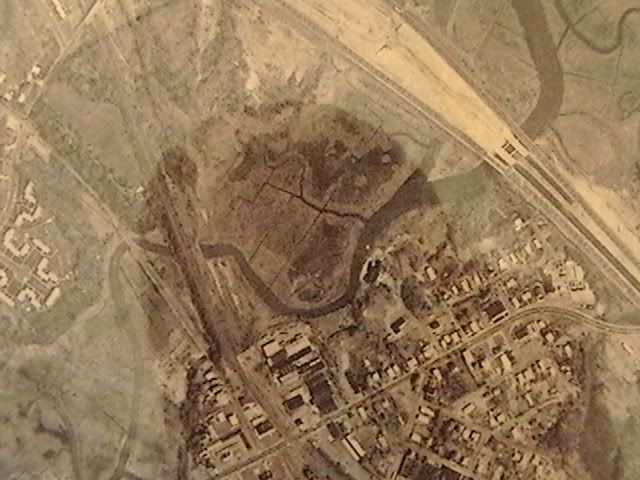
Below is a map of the creek area taken sometime in the late 1950s and early 1960s. You can see the Parkway being built over the creek and the creek being rerouted. You can also see the area where the Stillwell and Fisher attacks took place. At that time there were still many factories that lined the creek.